Aerial Intelligence for Smarter Operations
CONSTRUCTION & AGRICULTURE FOCUSED
ONTARIO BASED OPERATIONS


INSURED, CERTIFIED & COMMERCIAL-READY


WE SPECIALIZE IN COMMERCIAL DRONE SERVICES.
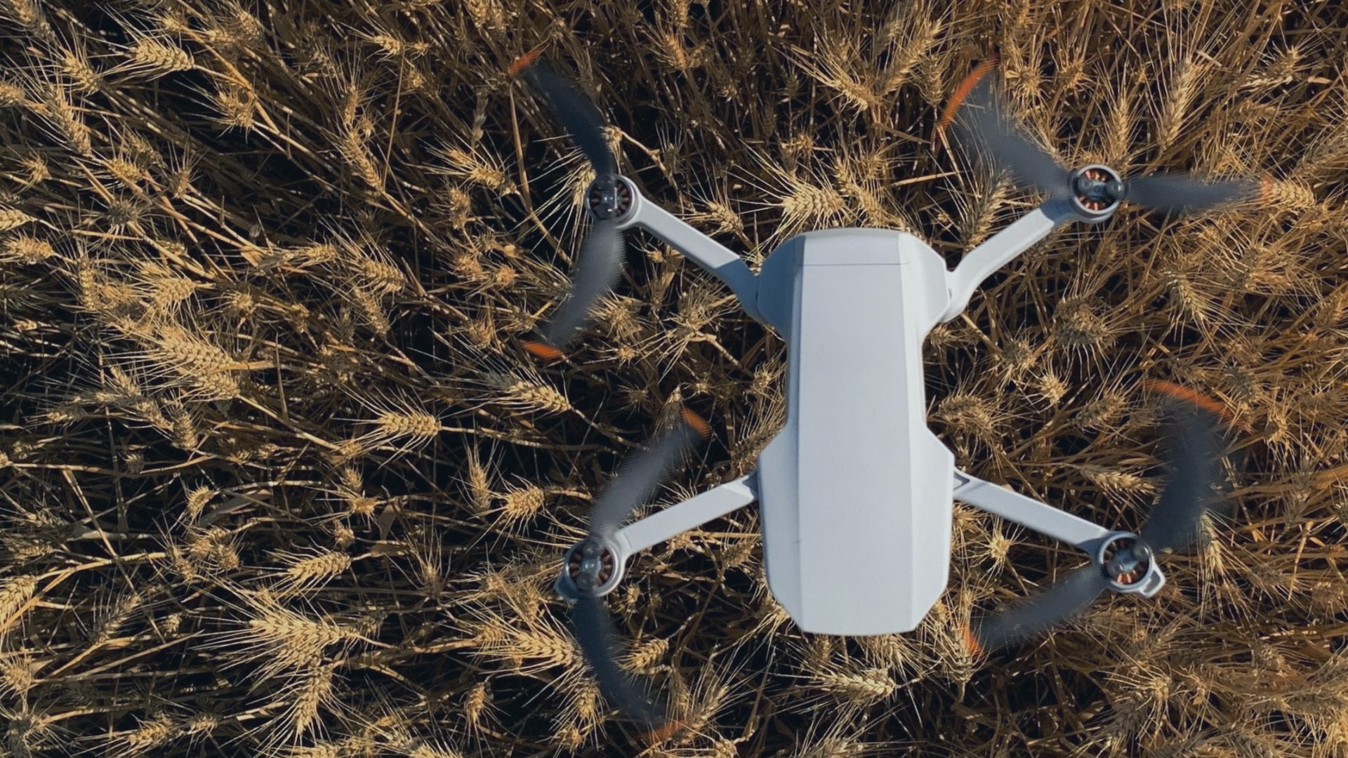
DroneWise is a drone services company serving commercial property owners and agricultural producers across Ontario, specializing in aerial roof inspections and crop scouting.
Traditional field scouting covers a fraction of what a single drone flight can. We fly NDVI and multispectral missions that deliver a field-wide picture of crop health, stress zones, and helping you identify disease or pest damage. Deliverables include reports that integrate with the crop management software most Ontario operations already run.
We fly high-resolution inspection passes covering membrane condition, flashing, drainage, seam integrity, and structural wear. No ladders, no scaffolding, no crew on a roof. This service extends to commercial and industrial buildings across Ontario where conventional inspection is slow, expensive, or creates unnecessary liability.

BUILDING INSPECTIONS


CORE SERVICES
WHAT WE DO
Every flight has a deliverable. We don't just collect footage — we provide actionable data, reports, and media you can put to work immediately.
Safe inspection of rooftops, towers, transmission lines, bridges, and industrial infrastructure — without scaffolding or rope access.
CROP SCOUTING
NDVI crop health monitoring, field analytics, and precision spraying support to help farmers maximize yield and reduce input costs.
MAPPING & SURVEYING
High-accuracy photogrammetry, orthomosaics, 3D models, and LiDAR-grade topographic surveys for construction, land development, and site planning.
TWO INDUSTRIES, ONE OPERATOR
DroneWise focuses where drone data creates the most value — Ontario agriculture and construction. Specialized, not generalized.
WHO WE SERVE
FIELD-LEVEL INTELLIGENCE
AGRICULTURE
Traditional scouting covers a fraction of what a single drone flight can see. Get the full picture before decisions get made.
NDVI & multispectral crop health maps
Variable rate prescription support
Stand emergence & canopy closure
Grain bin & barn roof inspections
SITE AWARENESS AT SCALE
CONSTRUCTION
From breaking ground to final walkthrough — aerial data that keeps your team, clients, and records aligned.
Pre-construction site mapping
Progress documentation & reporting
Roof & structural inspections
Earthwork volume calculations
SIMPLE PROCESS
From first call to final deliverable in days, not weeks.
HOW IT WORKS
01
Book a flight
Tell us the site, the goal, and the timeline. We'll confirm airspace and plan the mission.
02
Certified operator on-site. Full insurance coverage. Coordinated with your project schedule.
We fly
03
Get your data
Reports, maps, inspection findings, or edited video — delivered within your agreed window.
04
Make decisions
Integrate deliverables into your existing software, share with clients, or act on the findings.
SINGLE VISIT
STARTER
One site visit, a polished highlight video, and high-res stills — everything you need to document a key project milestone.
1 site visit (up to 30 min)
4K highlight video (1–2 min)
8 high-resolution stills
Delivered within 7 business days
PROJECT DOCUMENTATION & MARKETING
For contractors and farms that want professional aerial footage for client reporting or digital marketing.
MULTIMEDIA PACKAGES
$500+HST
PREMIUM
FULL PROJECT
Two visits, a complete end-of-project video, branded for your company — perfect for client presentations and social media.
$1,400+HST
2 site visits (up to 45 min each)
4K end-of-project video (2–3 min)
10 high-res stills per visit
Branded intro/outro + music license
Delivered within 5 business days
© 2026 Dronewise Ltd.
Contact Us
COMPANY
RESOURCES
ROI Calculator
Service Locations
Ontario Drone Report
Our Story